
About Plan3D
We execute our work with high standards for ourselves, our clients and our workflows, and critically think along the entire scope and timeline of the project to deliver a high-quality product and service. We communicate and act responsibly, transparently, in partnership with our clients and partners and keep our word with high professionality and dedication.
All of us at Plan3D are pleased to have been working in a small team of very dedicated professionals who work together with mutual respect, passion and positive energy. Thus driving the projects more efficiently and in synergy with one another, which also emphasises on enjoying what we do and evolving with each project we successfully deliver.
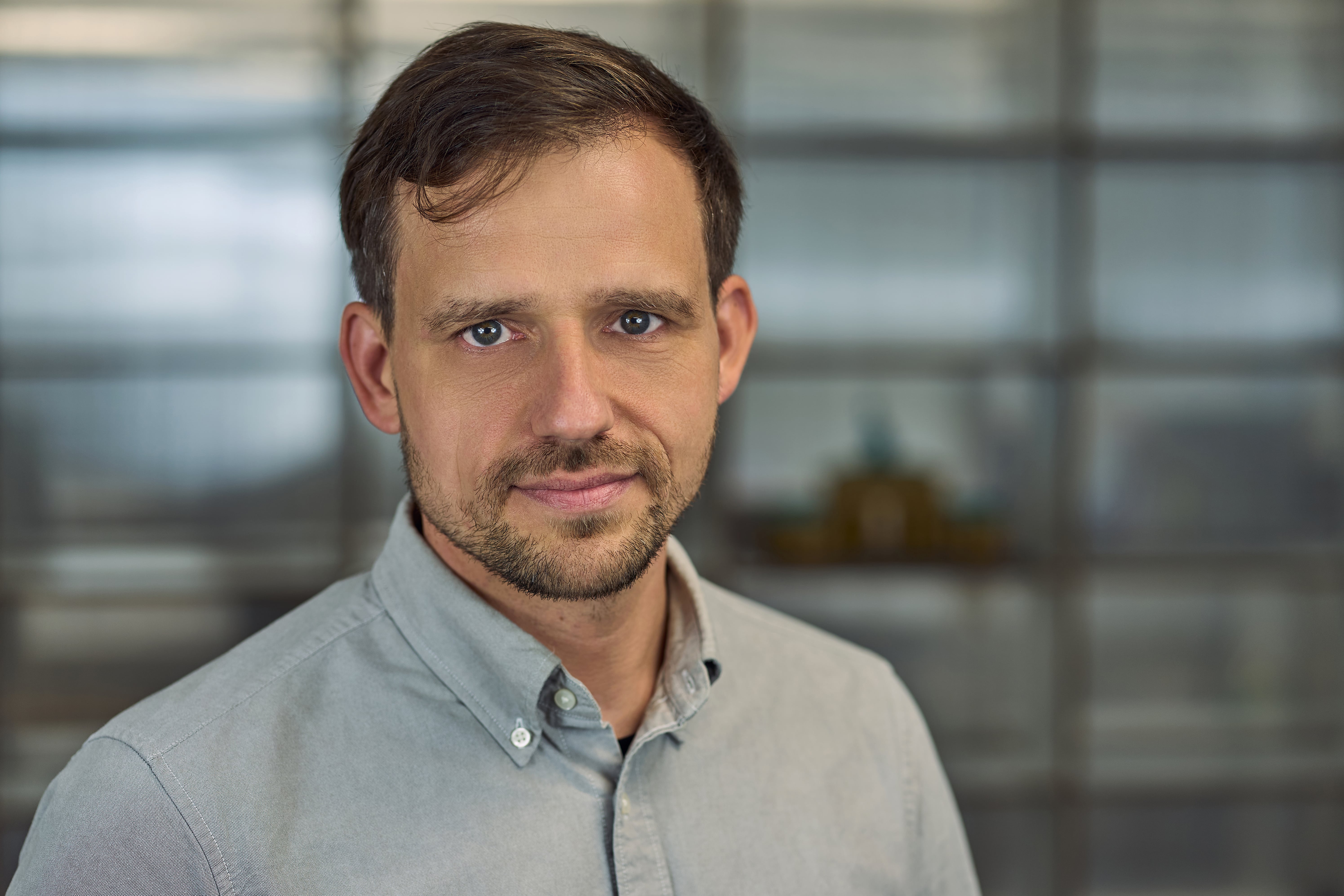
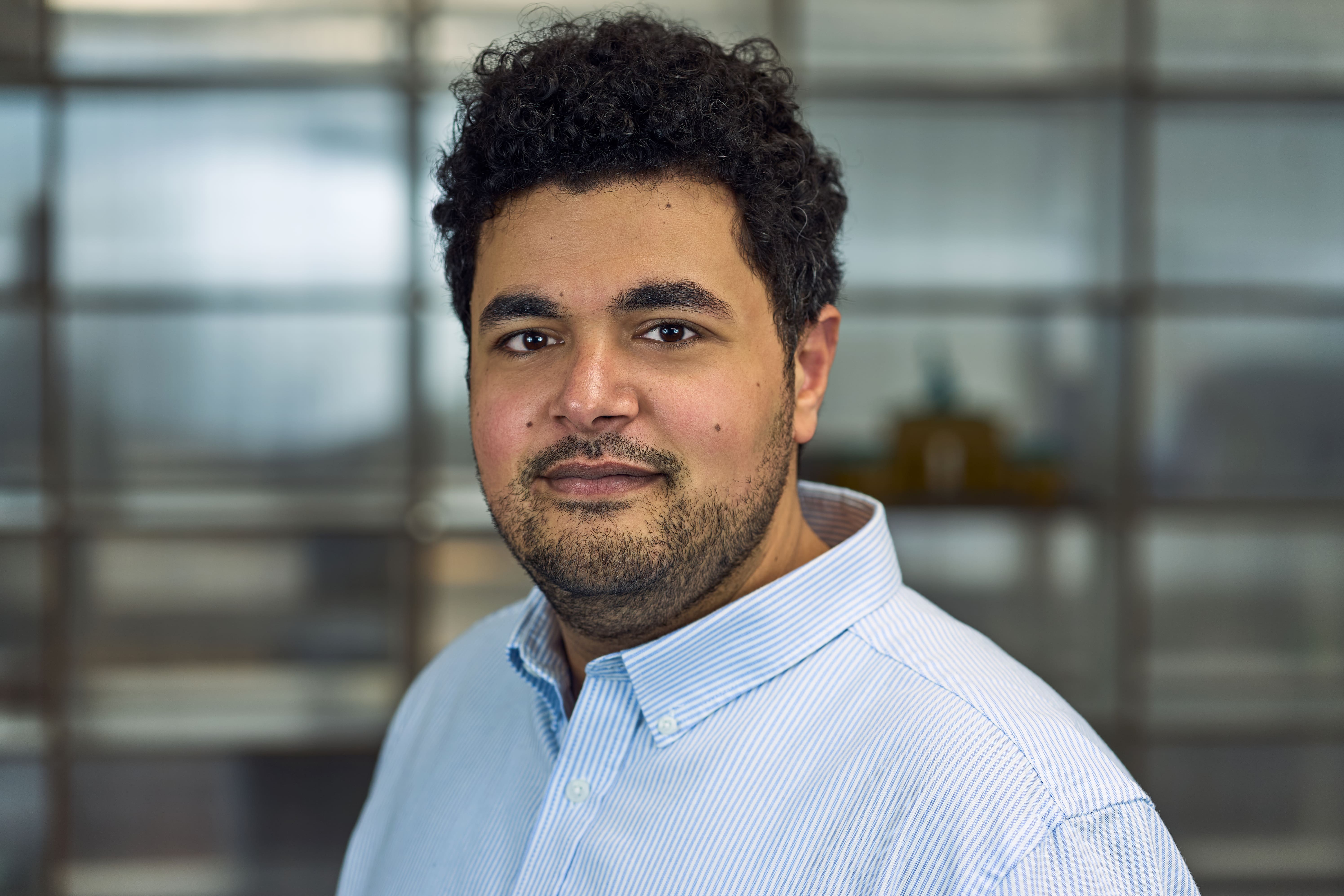
Our Team


We're hiring!
Are you looking for an exciting and meaningful work position, and would you like to become part of our dedicated team? Exciting positions are always available in our diverse projects. We look forward to your application and your individual personality. Are you curious? Send us an application for an open position of your interest or an initiative application for a position of your choice!
References
With more than 12 years of experience in the field of 3D-Laserscanning, as-built surveying, Building Information Modelling and CAD-Drafting, we have been worked with a wide array of clients well-known in the AEC-Industry. Here we present some selected architects, planners, builders, foundations, surveyors and project developers who already trust the quality of our work.


FAQs
Do you have any questions for us? We are gladly at your disposal to answer all your questions about our services. Some of the most frequently asked questions are answered as following.
Plan3D is based in Berlin, but works throughout Germany, both on its own and with local partner offices. In addition, we have already measured and processed projects in the DACH region, Malta, France, Spain, the Czech Republic, Denmark and the Netherlands.
Plan3D has expertise in Scan2BIM, Scan2CAD and CAD2BIM workflows in Autodesk Revit, Graphisoft ArchiCad and AutoCad. BIM-capable 3D models for Allplan can also be generated from Autodesk Revit via the IFC data exchange format. It is currently still advantageous to create the as-built model or as-is model (BIM-capable model of the existing building) directly in the software in which the architects and technicians will later work in, as this avoids geometry and parametric data conversion problems. The IFC format as an exchange format, especially for the connection to CAFM and tendering software, continues to improve.
Plan3D works with CAD software from Graphisoft ArchiCad, Autodesk Revit and AutoCad and can create 3D models and as-built plans in all standard formats, 3D models e.g. in RVT, PLN, IFC, NWD, DWG, STP, FBX, OBJ, STL, 3D-PDF and 2D plans as DWG, PLN and PDF files.
A point cloud is the raw measurement result of a survey using a 3D laser scanner. The object to be measured is scanned 360° in a millimetre fine grid. The set of points from one or more scans forms the point cloud, which usually consists of millions of individual points. In the next step, the point cloud can serve as the basis for a CAD evaluation. The points contain, for example, the X-, Y- and Z-coordinate of a measured point as well as colour values or a greyscale value of the color of the surface, which was determined based on the absorption values of the measured point. Depending on the absorption properties, a material (e.g. masonry or metal) can absorb more or less light. The colour value per point is recorded with digital cameras and mapped onto the point cloud, resulting in a highly accurate combination of spatial and optical information.
Plan3D works with FARO, Leica and Geoslam measurement technology and can create point clouds in all standard formats such as XYZ, E57, RCP, RCS, PTS, PTX, LAS, LAZ, etc. If you need a point cloud of an object, the interface, the parameters (colour / greyscale, resolution, raster) and the desired import format should be clarified before starting the project.
Depending on the type of job, different workflows are available. For simple surface measurements of small areas, manual measurements or mobile mapping are carried out using a hand-held measuring device. In the area of Scan2BIM, stationary 3D scanners and mobile mapping systems are used. For monument protection or heritage conservation, we work with 3D laser scanners and drone-mounted imaging. Larger projects are supported by tacheometric network measurement to achieve higher accuracies in position and height.
Plan 3D can manage and execute projects with our project managers natively speaking in German, English and Spanish. We have worked on projects for companies from Germany, USA, England, Scotland, the Netherlands, Denmark, Czech Republic and many more.
While a point cloud represents the raw measurement result, the 3D model usually refers to an evaluation of the data, i.e. a 3D model created based on the point cloud as a CAD vector. This is usually an intelligent idealisation of the structural reality using components from component libraries, which can then be adapted to the actual dimensions. Sometimes a 3D model also means a 3D mesh model, i.e. a network model that reflects the real object in a digitally abstracted way with the help of triangles describing the surface. The points of the point cloud are pure coordinates with colour or grey values and do not contain any further information. For the creation of intelligent building models, the geometry of the architecture or building services is taken from the point cloud (traced in 3 dimensions) and idealised according to the desired use, i.e. adjusted for deformations and structural damage. This idealisation is carried out to be able to select a suitable element from a component library for each component (e.g. door, window, support, beam), which, in addition to the geometric information, can digitally reproduce further parameters of the object, e.g. type of component, classification, DIN cost group, fire protection properties, material, etc. These parameters can then be used, e.g. for the construction of a building. These parameters can then be accessed e.g. by planners via the IFC interface, so that quantity and mass lists can be exported e.g. for tenders.
A digital twin of a building is a detailed virtual representation of the building that can contain, for example, information about the building geometry, the technical building equipment and the statics. It is used to check complex planning issues in advance and avoid collisions. During the life cycle, the building data can be constantly updated and documented by sensors and other data sources to support efficient use and management. The digital twin is a foundation of smart building technologies and increases the sustainability of buildings.
We offer on-the-job and small group training for a maximum of 6 students in the topics Scan2BIM, Autodesk Revit, point clouds in Revit and Scan2CAD, among others.
Still have questions?
We are glad to take all of your questions. You can write us an email or call us directly.
Contact us